Driftline Mode · Fishing
The water, before you load the boat.
Real-time flow, water temp, tides, buoys, and regulations for every river worth fishing. Sourced direct from USGS and NOAA, refreshed every 15 minutes.
Quick answer
Baseline Maps (Driftline mode) is a fishing app that combines real-time USGS river flow data, NOAA buoy and tide data, state fishing regulations, and hatchery returns into one place. It covers 1,100+ rivers across 13 US states and Canada, refreshed every 15 minutes.
River detail
Every river. Every number. One screen.
CFS, water temperature, gauge height, 30-day trend. Today's reading next to the historical median for this date. Set a fishable range and we'll notify you when it hits.
- Live USGS feed, 15-minute refresh
- Custom flow alerts per river
- Hatchery returns + species run-timing
- Regulations parsed by river
Muskegon River · 1,340 CFS · 34°F
What's in Driftline
Everything you check before a trip. None of the noise.
Real-time CFS, every river
USGS gauge data refreshed every 15 minutes. 1,100+ rivers across 13 US states and Canada. Set a fishable range and we’ll notify you when conditions hit.
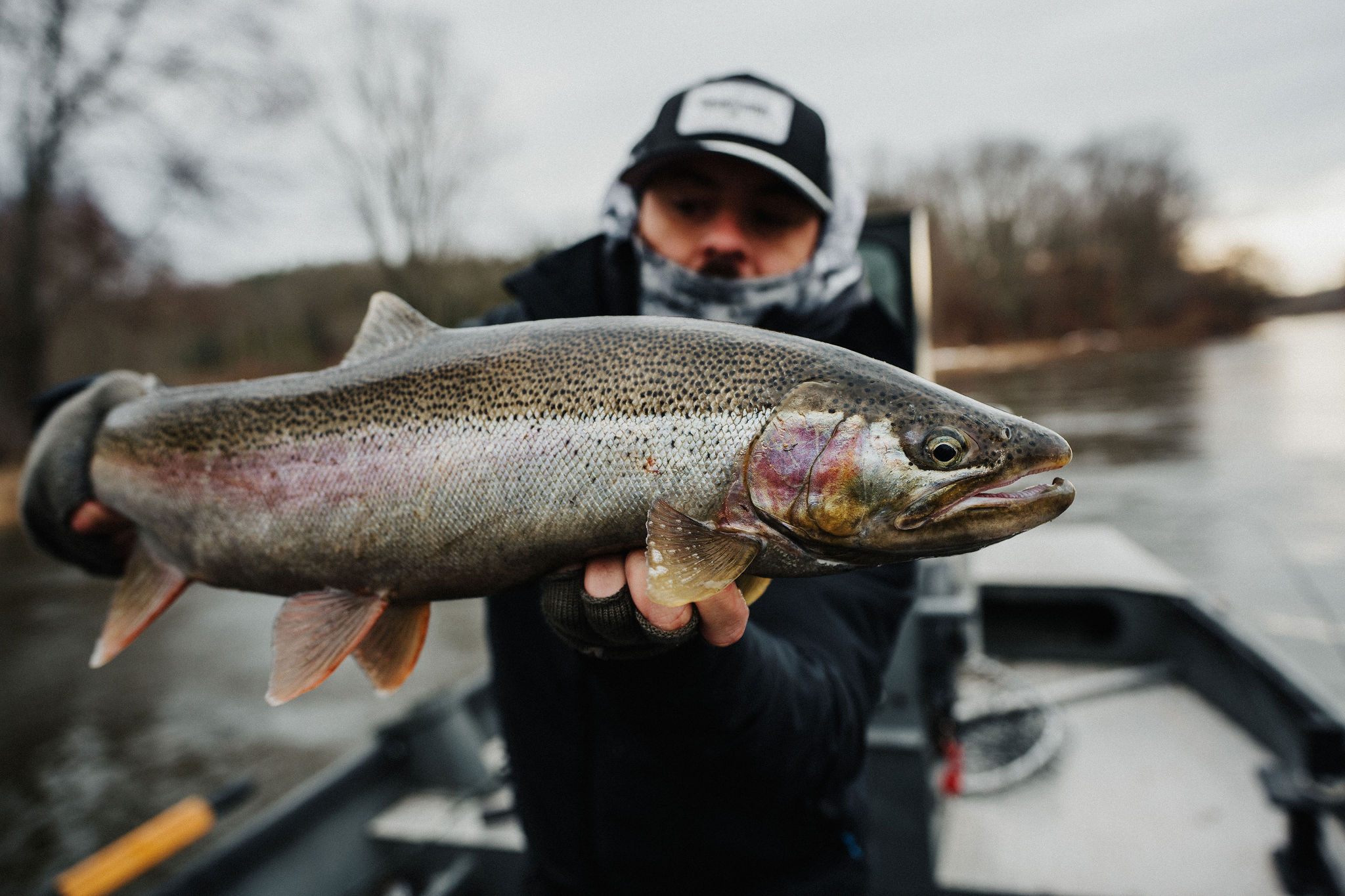
Water temp, gauge height, trend
Beyond CFS. See water temperature, gauge height, 7-day and 30-day trend lines. Compare today against historical medians for that date.
NOAA buoys for ocean fishing
Swell period, wave height, water temperature, wind. Pre-loaded for every NOAA station along the US Pacific coast.
Tide charts with solunar overlay
Coastal and estuary stations. Solunar major and minor windows aligned to your trip date.
Regulations parsed by river
WDFW and ODFW regulations parsed by river and zone. Emergency rule changes pushed to the app within hours of agency posting.
Hatchery returns + run timing
Live escapement counts and species run-timing windows. Plan your trip around the actual fish, not the calendar.
Catch logging with photos
Log catches with location, species, weight, conditions, photos. Private by default. Export anytime.
River comparison
Side-by-side flow comparison for any subset of rivers. Find the one fishing right when your home water isn’t.
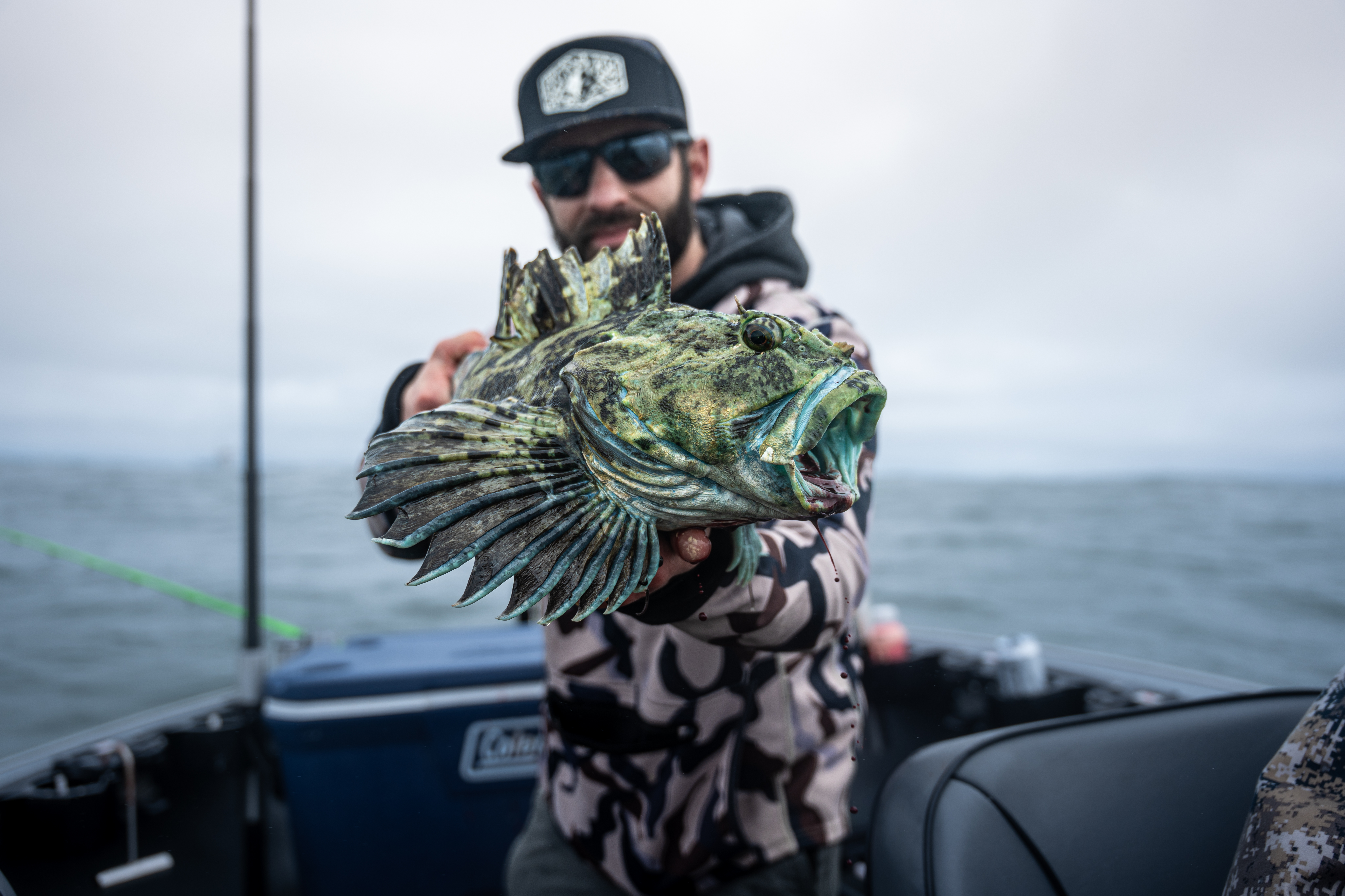
Coverage
13 US states + 2 Canadian provinces.
Washington, Oregon, California, Idaho, Alaska, Michigan, New York, Ohio, Utah, Wisconsin, Pennsylvania, Nevada, Minnesota, British Columbia, Ontario. Every NOAA buoy along the US Pacific Coast.
FAQ
Fishing questions, answered.
- What is CFS in fishing?
- CFS — cubic feet per second — is the standard unit for measuring how much water flows past a point in a river each second. One CFS equals about 7.5 gallons per second, roughly a basketball’s worth of water. For anglers, CFS tells you whether a river is wadeable, blown out, or running low. Most trout rivers fish best within 30% of their seasonal median flow.
- What's a good CFS to fish at?
- It depends on the river. The general rule: fishable flow is within ±30% of the historical median for that date. Below the range and fish concentrate in deep pools; above it and visibility drops below the productive threshold. Baseline Maps shows the historical median next to today's reading on every river page.
- How do I know if a river is too high to fish?
- Check visibility, not just CFS. If you cannot see at least 8 inches into the water, the river is generally not fishable regardless of what the gauge reads. After heavy rain, wait for the descending limb of the hydrograph — fish move back into productive water on the drop.
- How accurate is USGS river flow data?
- USGS provisional data is published within 15 minutes of measurement and is accepted as the authoritative real-time source for US river flow. Baseline Maps pulls directly from the USGS Water Services API — no resampling, no smoothing.
- Is Driftline still a separate app?
- No. Driftline is now the fishing mode inside Baseline Maps. All the same river data, intelligence, and features are there — plus hunting (Ridgeline) and foraging in the same app.
- Does Baseline Maps work for fishing outside the Pacific Northwest?
- Yes. River flow coverage includes Michigan steelhead waters, New York Salmon River, California coastal rivers, Alaska Kenai/Kasilof, plus inland waters in Utah, Wisconsin, Pennsylvania, Nevada, Minnesota, Ohio, Idaho. NOAA buoys cover the entire US Pacific Coast.
Stop checking five apps and a stack of PDFs.
One app. Every river. Free for 30 days.