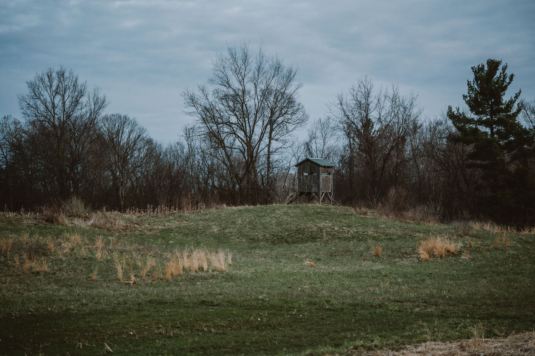
Hunting blind on a Pacific Northwest field at dusk

Ridgeline Mode · Hunting

Walk in with the map already in your head.

GMU boundaries, public-land detail, draw odds, weather windows, and offline topo for the backcountry. All in the same app as your fishing data.

Quick answer

Baseline Maps (Ridgeline mode) is a hunting GPS app for the Western US. It includes 1,339 GMU boundaries across Washington, Oregon, Idaho, Montana, Colorado, Wyoming, Utah, Arizona, and New Mexico, plus land-ownership parcels, controlled hunt info, offline topo maps, and regulations parsed by unit. Coverage keeps expanding.

GMU 653 · Mashel · 42% public

GMU detail

Tap a unit. See the season, the boundaries, the access.

Every GMU across 9 Western states. Public-land percentage, season dates, weapon types, harvest stats, draw odds where applicable — with coverage expanding as new states come online. Tap-through to satellite, topo, and hillshade layers.

  • Parcel-level public vs private boundaries
  • Season dates parsed by unit
  • Controlled hunt draw odds (Oregon)
  • Offline topo + hillshade + satellite

What's in Ridgeline

Everything you need in the field. Nothing you don't.

GMU maps across 9 Western states

1,339 game management units mapped with boundaries, season dates, and access info across WA, OR, ID, MT, CO, WY, UT, AZ, and NM. Coverage keeps expanding. Tap a unit to see what's open and when.

Land ownership boundaries

County parcel data overlaid on the map. Public, private, BLM, USFS, state lands — color-coded so you know where you can hunt at a glance.

Controlled hunt details

Oregon controlled hunt tags with point requirements and historical draw odds. Plan your application strategy without paywalls.

Offline topographic maps

Download regions for backcountry use. Topo, hillshade, satellite, parcels — sized to your route ahead of time.

Weather windows + thermals

Wind direction and thermal layers for the unit you’re hunting. Plan stand and stalk routes around scent, not luck.

Hunt journaling + waypoints

Mark stands, sign, scouting notes, and trail cams. Import from onX Hunt or Gaia GPS in 60 seconds — your waypoints, your data.

Background trail recording

GPS track recording continues even when the phone is in your pocket. Battery-aware sampling. Export GPX anytime.

Regulations parsed by GMU

ODFW, WDFW, and IDFG regulations parsed by unit. Season dates, bag limits, weapon restrictions — all in one place.

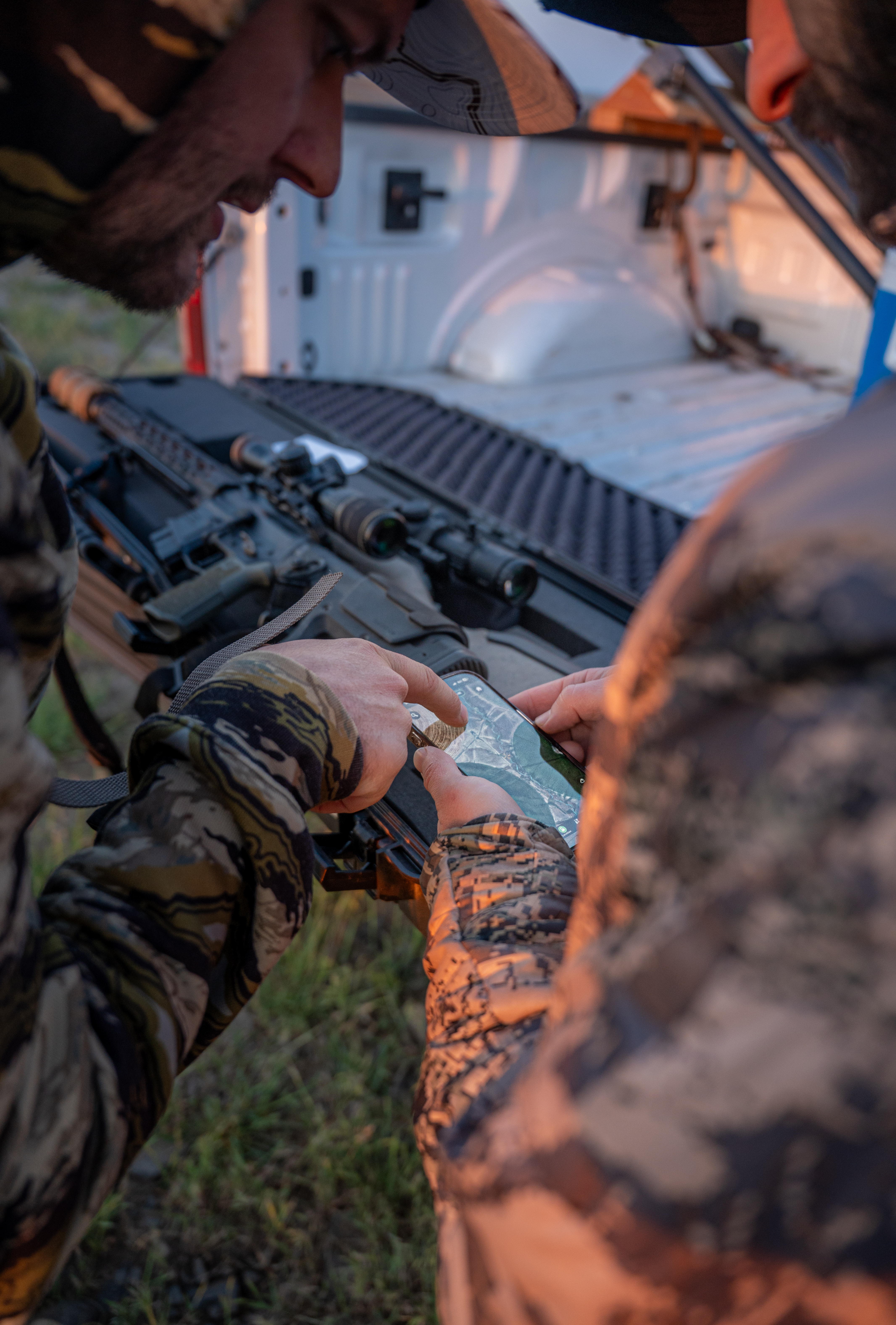
Two hunters checking Baseline Maps at the truck

vs onX

Two apps for the price of one.

onX Hunt Elite + onX Fish = $134.98/yr. Baseline Maps with hunting and fishing = $34.99/yr. More data, one subscription, fewer surcharges.

FAQ

Hunting questions, answered.

What is a GMU?
A GMU — Game Management Unit — is a defined geographic area that state wildlife agencies use to manage hunting seasons, tags, and bag limits. Different states call them different things: WMUs in some states, Hunt Units in others, GMUs in the West. Each unit has its own season dates, weapon restrictions, and (sometimes) draw requirements.
How do I find public hunting land?
Baseline Maps shows BLM, USFS, state DNR, and DFW-owned public lands color-coded against private parcels. Filter the map to "public only" and you see every legally huntable acre in your unit. Crosshair any parcel to see the owner, acreage, and any access restrictions.
Is this an onX alternative?
Yes, with two differences: Baseline Maps includes fishing intelligence (Driftline mode) in the same app and same subscription. And our pricing is one flat fee, not per-state tiers. Same level of parcel detail; lower total cost.
Does Baseline Maps work offline?
Yes. Download map regions before you go. Topo, hillshade, satellite, parcels, and GMU boundaries all cache to the device. Tap-and-trace routes work without cell service.
How do I import my onX waypoints?
Export your onX waypoints as a GPX or KML file from the onX app. In Baseline Maps, go to Settings > Import. Pick the file. Sixty seconds. Zero data loss.
Are draw odds included?
Yes for Oregon controlled hunts. Washington and Idaho draw odds support is on the roadmap. We use state agency raw data — not aggregator estimates.
Rainbow trout in a net

Real units. Real boundaries. Real data.

No subscription tiers. No per-state surcharges. Free for 30 days.